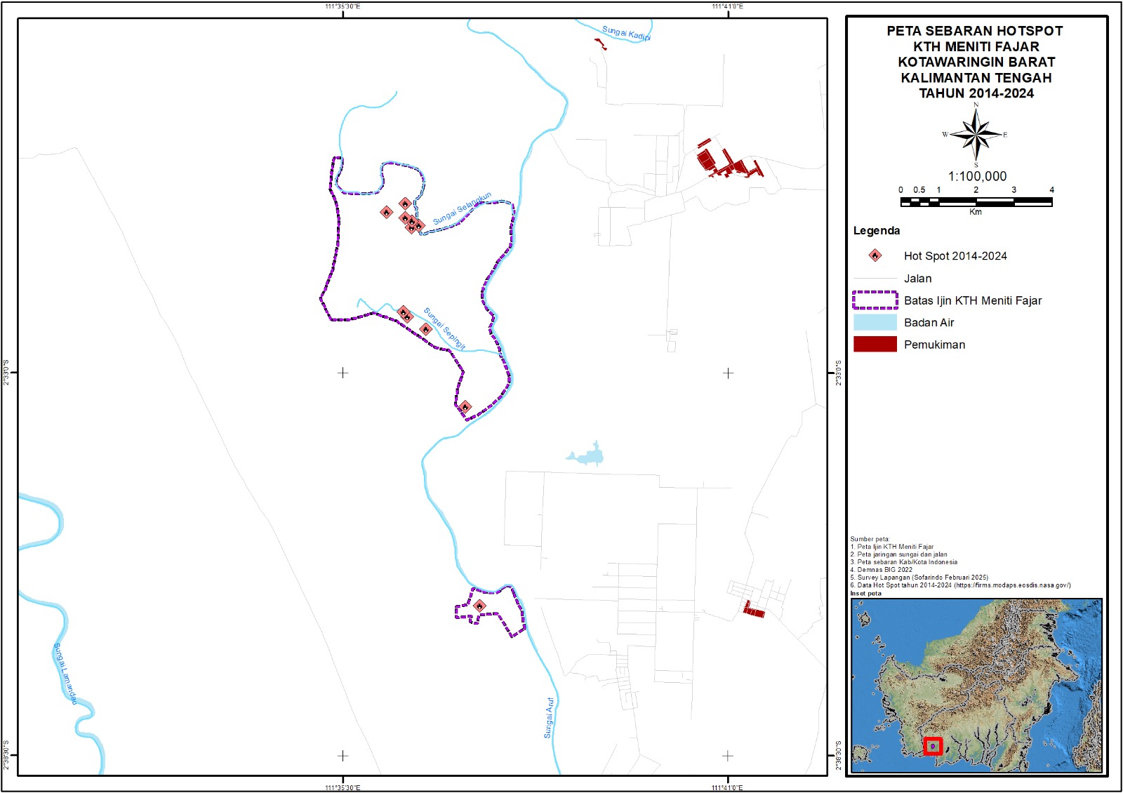
Hotspot Distribution
The Hotspot Map displays the distribution of locations that show significant temperature increases, which are often associated with forest and land fires.
This map is used to monitor potential fires both spatially and temporally, aiding in early detection, mitigation efforts, and the evaluation of fire impacts on the ecosystem and the surrounding environment.